The most common problem with GIS data is having undefined or incorrect spatial references. Below is an example of ArcGIS with a layer you may have loaded.
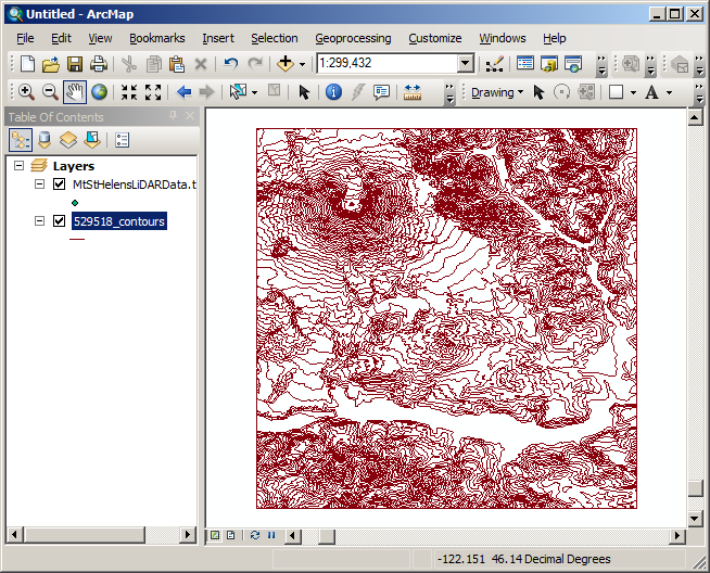
At some point (in the near future), you'll load another layer into ArcGIS that should be referenced near the ones you've already loaded but they will not overlap. Then, if you view the entire scene, you'll end up with the following:
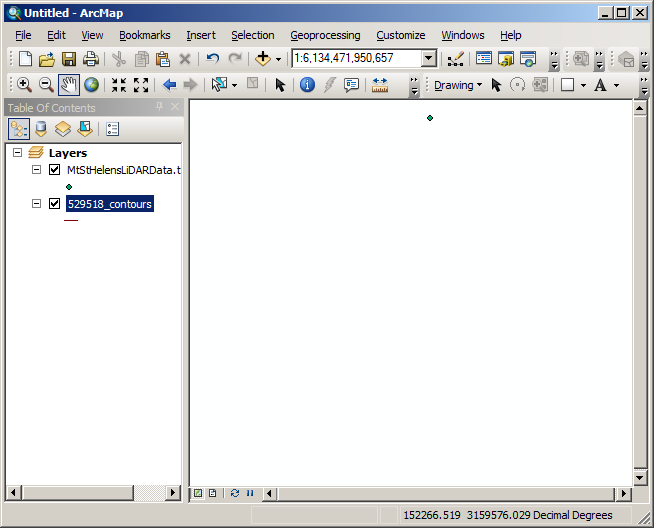
What happened?
The problem is that the two layers are in different spatial refences but one is not defined or is incorrect. One way to find out what is wrong is to zoom to one layer, check the coordinate values that appear in the lower right of ArcMap and then zoom to each other layer. What do you see for coordinates in the image below?
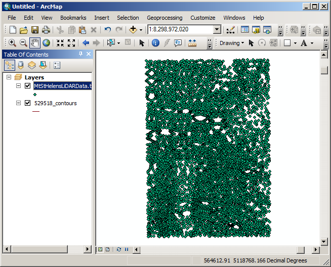
The problem is that this data did not have a defined spatial reference and it's data is projected where the previous layer's data was in geographic. The spatial references must be fixed to address this problem.
© Copyright 2018 HSU - All rights reserved.